Geographic Information System (GIS)
Offering The Following:
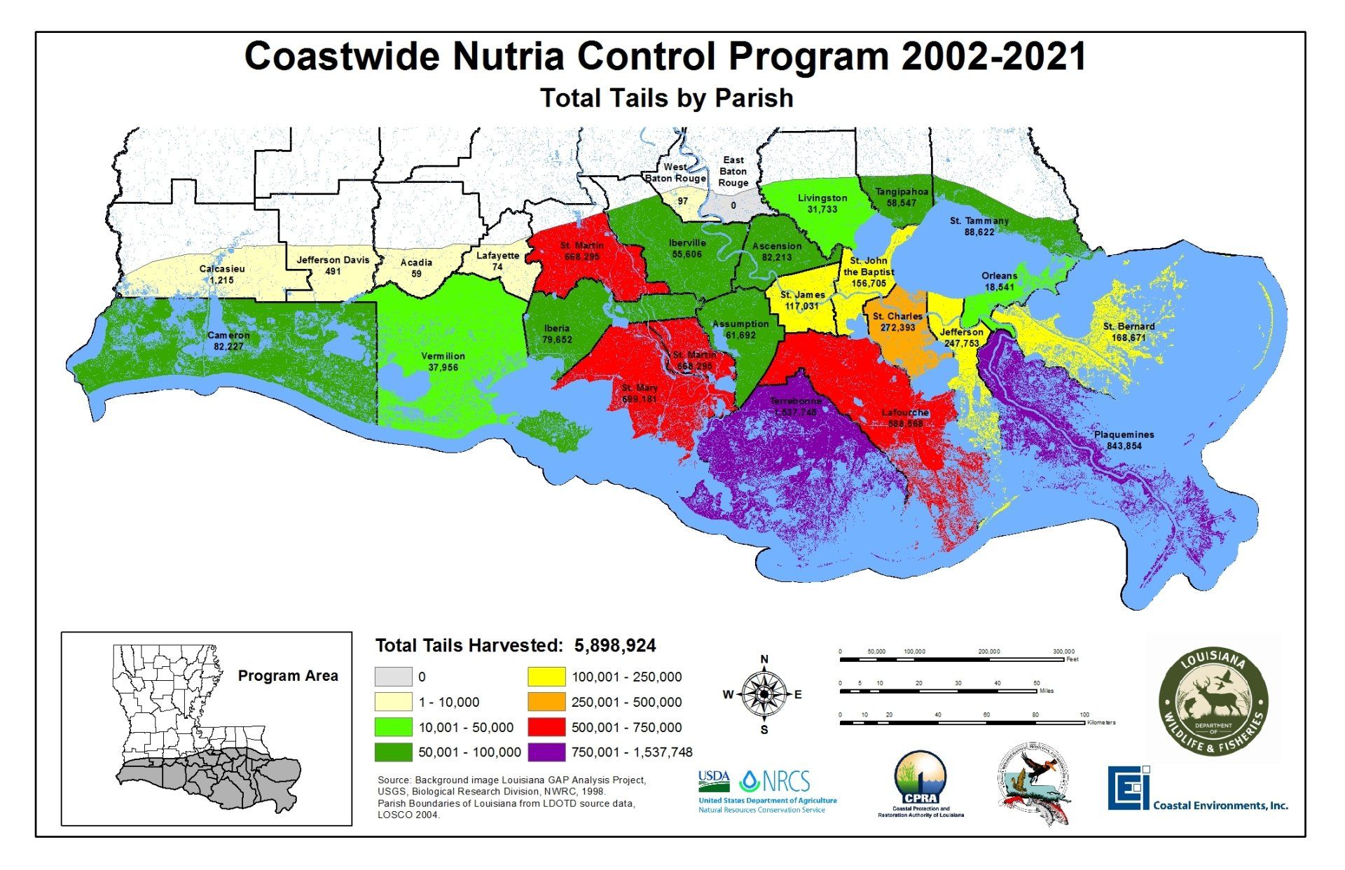
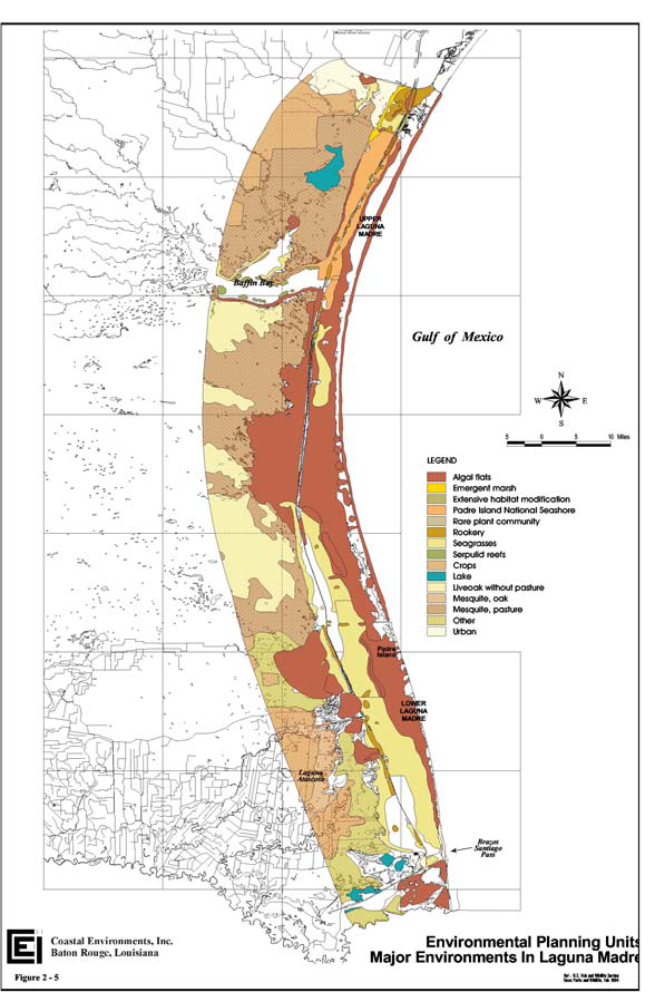
We provide tools to link databases and maps as well as visualizing and querying data in order to fit each project’s unique needs with a cost-saving dynamic that can be customized to your preference. Our GIS staff is uniquely qualified and has the equipment to collect, analyze, and present spatial information for projects in both the public and private sectors. Our multidisciplinary team has extensive knowledge involving environmental legacy litigation, land ownership dispute cases, environmental management, restoration, and planning projects. Partnering with the Louisiana Wildlife and Fisheries Department, one of our oldest projects is the Coastwide Nutria Control Program, which has been going strong for over 17 years.
GPS & Survey
Federal Vector Data
- Topographic, Bathymetric, Hydrological, Wetland,
- Soils, Census, & Flood-plain data.
- LiDAR points, and contour lines
State-Wide Vector Data
- Cadastral, Faults, Subsidence, Transportation, Habitat,
- Land-Use/Land-Cover, Pipeline, Wells (water, oil & gas), infrastructure
- Archaeological, Geological, and Historic to Current Vegetation & Land-Loss data.
Georeferenced Raster Data:
- Historical & Current Aerial & Satellite Imagery
- Historic & Current Topographic Quadrangles
- Geologic Morphology
- Land-Loss Processes
- Historical General Land Office Survey Plats
- Historical T-Charts
- LiDAR DEM
- (Some historical references date to 1800s)
Implementing GIS technology
Our GIS staff is uniquely qualified to assist clients in both the public and private sectors to develop and implement GIS technology for the solution of a wide range of data-intensive technical problems. We have the equipment and the expertise to collect, analyze, and present spatial information to meet the needs of your project.


